

The first train arrived at the new light rail station at about 6:50 P.M. Wednesday. The test run was a bit of an anti-climatic affair, but it was still a momentous event. Here is a of photo of the action.

While the train was moseying into the station, another crew was busy painting lines on the new section of 16th Street in anticipation of traffic starting on Monday.

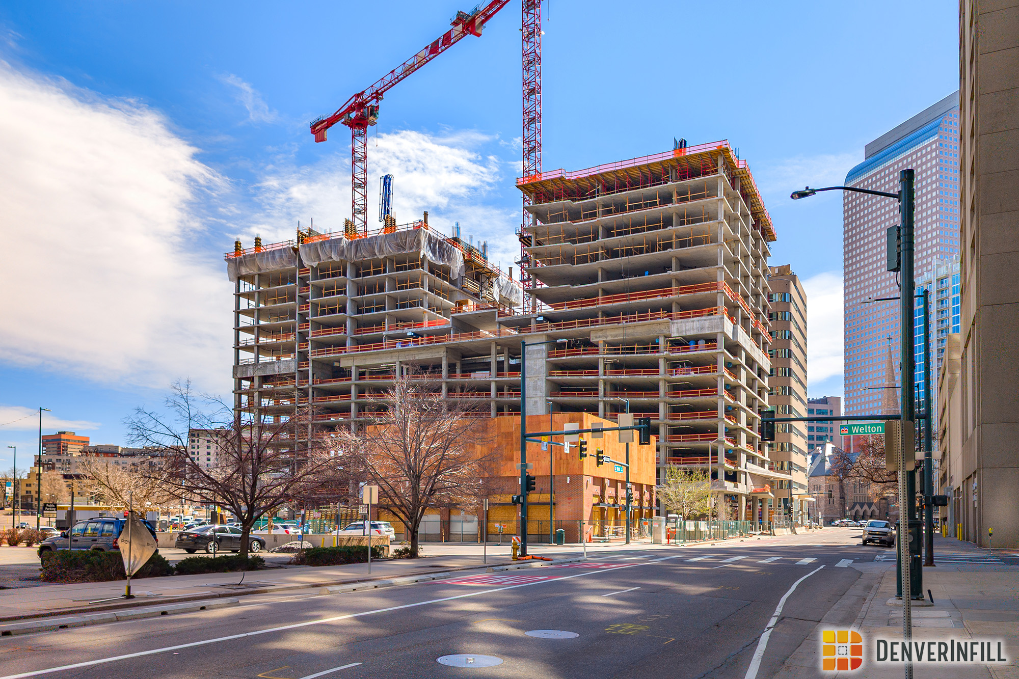
The photo count is now up to 49 so far this week on our Denver Union Station page at JobSiteVistor.com.


looking good…i’m a big confused by the street width / sidewalk of 16th in the area betwen the bridge and the EPA building..is that hitch in the road permanent? Are we going to have massively wide sidewalks on one side? bike lanes maybe?
Bryan, 16th Street will very wide in that section, and I’m sure it will include bike lanes. Remember, that one block section will carry public traffic and the mall shuttle.
Actually, the plan I’ve seen shows only sharrows for the section between Chestnut and Wewatta. The real design flaw comes from the lack of of a ped refugee island at the mid-block (with pans at the corresponding sidewalks), where the middle shared left turn lane transitions between the SE and NW bound traffic. It wouldn’t have been very large, but it would have been cheap and easy to put in and could saved people from crossing 5 lanes at mid-block. FYI, there’s only one dedicated bike lane, it’s between Wewatta and Wynkoop on the SE side. I’m assuming because there’s no auto traffic here, just bus, with cars and bus and sharrows on the NW side.
in regards to the last post over at denver urbanism- did they paint bike lanes or sharrows on the new stretch of 16th?
I’m not sure, but since 16th is only half built any striping now will be temporary.
I don’t think I’ve seen the “This is not a train” wrap before. Is it new?
Brennan, I didn’t notice it until you pointed it out. Yeah, I think it’s new.
I have posted a video of the test run on YouTube. It is at viewable at the following link: http://www.youtube.com/watch?v=jPXAkgwYWV4
Rex, thank you for posting the video. Good job! Also, I enjoyed talking with you on the bridge last night as we waited for the test train.
You’re welcome. It was great talking with you yesterday as well. You’re doing a great job with the blog and keeping us up to date, thank you.
Does anyone know when the light rail station opens on Monday if there will be access from the the 18th Street Bridge to the light rail platform?
Side note – I noticed that permanent fencing went up around the triangle lot between the EPA building and the Gates Building. Any idea why? Imagine its to eventually house equipment or supplies and not cause they are planning to start breaking ground.
There’s a ceremony that starts at about 7:40 AM or so and then I think the trains start rolling in around 8:00 AM.
Regarding the triangle block, Union Station Neighborhood Company recently closed on the parcel. RTD, the previous owner, let people have free access to it. USNC is not (probably liability reasons I’m guessing).
Thanks for the info Ken. I didnt word my first question very well…what Im wondering is if people will be able to access the light rail platform from the 18th Street Bridge side…or if the only access will be from the 16th street side.
Nevermind Ken! Just walked over and saw they were almost done installing the pavers that connect the base of the bridge to the platform! So Im going to assume access will be available!
I got here from an RTD alert somehow. Nice site! Since people are talking about bike access, I’m wondering: how will a bicyclist get from the east side (where Market Street Station is now) to the bus station? It looks like you’d have to go straight through the Union Station building or through a tunnel (which it looks like they just removed). You can’t go down to 16th Street (way out of the way and bicycles are not allowed) and there are no streets through on the north side of the station.
I take the regional bus to Boulder and bike in from a downtown neighborhood on the east side. I’ve been watching the construction from the bus every week, thinking it was a new building, but it turns out I’ve been watching doom for my commute; looks like I may need to shop for a car soon. Not to put the whole project down, but you’d think someone would have planned for bicycles in a big new-urbanist transit project.
I’m not sure I totally understand your question, but to get to the new underground bus station from say the current Market Street Station, you would just bike down the 18th street bike lane to Wynkoop (or take 17th for that matter, it’s pretty mellow for those 3 blocks), chain your bike at one of the 33 racks they are planning at the historic Union Station building, and take the stairs/escalotor located behind the building down to the bus terminal. Now if you’re taking your bike to Boulder, I suppose you’d have to take the elevator down. How does it work at Market Street right now? Do people ride down the bus ramp? May be even riskier at Union Station because of the added frequency of the circulator shuttle using the ramp at 18th Street. They aren’t planning for it, but that’s probably on purpose because mixing bikes with bus traffic in dark tunnels is generally a bad idea.
Er… So I’m on Wyncoop and there’s an elevator down to the underground bus station? According to all the maps and diagrams I’ve seen, that’s 2 blocks away. There was a tunnel from the old station, but they’ve demolished it.
Mike: I hope this helps: there will be escalators/stairs, and an elevator, right outside the Denver Union Station doors on the west side leading down into the underground bus facility. I don’t know the exact distance, but based on diagrams and photograghs I’ve seen, access to the bus facility won’t be more than 20 feet away from the DUS building.
See this image for a better understanding on how to access the bus facility from the DUS building:
http://denverunionstation.org/images/DUSPA_images/renderings/eva_canopy_900_442_3.jpg
As you can see from the image, the DUS building is at the far left. And, just steps away is the escalator/stairs and elevator leading to the buses (just before Track One).
As a follow-up, you won’t have to worry about bike lanes, mall shuttles or carrying our bike over pedestrian bridges. Just take your bike through the building and access the underground bus facility right on the other side of the building. Alternatively, you can ride/walk your bike around the building on each side and access the escalators/stairs and elevator right next to the building. When things start taking shape you will see how easy it is with your bike to get from Wynkoop to the buses (and eventually train) to Boulder – even easier (and faster) than walking through the old tunnel to the “old” light rail station.
Here is a video walk-through of the Denver Union Station Neighborhood. I’m not sure if this video has been circulated already, but it portrays an excellent idea on how the area will look when completed – and is always nice to watch again as progress is being made.
Union Station Neighborhood Fly Through from Union Station Neighborhood on Vimeo.
Mike, perhaps you haven’t seen this:
http://denverurbanism.com/2011/08/denver-union-station-bicycle-facilities.html
There will be bike lanes on 16th from Wynkoop to the Millennium Bridge, plus existing bike lanes on both 18th and Wynkoop. You’ll have many options to bike to the new DUS hub, and bicycles will be allowed on all elevators and within the bus terminal. From 18th & Wynkoop you could even take your bike up an elevator or stairs to the ped bridge over the commuter rail tracks, to another elevator/stair that would take you right down into the bus terminal. Also, in addition to the many bike racks scattered around the transit center, a Commuter Bicycle Station is planned right next to DUS with a planned 300-bike storage capacity, showers, bike repair/retail, etc.
Thank you, this is what I was looking for! At least I know it’s possible, though I still have concerns: 1) You say bike lane but the map says sharrows – I’m nervous about sharing the road with the mall shuttle, guess I’ve been well-trained not to ride on 16th. And 2) The map says Ped/Bike bridge, you say Ped bridge. Does that mean a lot of carrying/wheeling, or will it be possible to ride over it? Otherwise, a lot of the population served by Market Street is pretty cut off, at least in terms of time. Maybe they’ll move some of the regional routes to Civic Center.
Hi Mike. 16th between Wynkoop and Chestnut (basically the Millennium Bridge) will be a multi-modal street: mall shuttle, cars, and bikes. I think it may be a sharrow for the first short stretch west of Wynkoop (by the EPA Building), then bike lanes the rest of the way.
There are four places where you can go vertical between the ground level and the underground bus station: right behind the historic station, in the center of the commuter rail platforms, at the Wewatta Pavilion, and at the Chestnut Pavilion. At all four you should be able to carry your bike on an elevator/stairs/escalator to the bus gates below.
At 18th & Wynkoop, next to the proposed North Wing Building, will be a big staircase and elevator leading to the bike/ped bridge over the commuter rail tracks. You could use those stairs/elevator to get to the bridge, and then from there, use a separate elevator/stairs to drop down to the center commuter rail platforms where there’ll be stairs/elevators to the bus gates below.
It really shouldn’t be a problem getting via bike to your Boulder-bound bus!
When you have spare time, peruse the many DenverInfill/DenverUrbanism blog posts that will give you more details about the whole DUS plan (use the Search function) too.
Richard: I like those photos, I’ve seen them on the blog. Everyone is always young, perhaps the station has regenerative properites! It’s good that there is underground access here, though I’m guessing they won’t want people riding through the station.
Ken: it sounds like the north side is a no-go – dismounting, up stairs, presumably wheeling rather than riding, then down more stairs. Probably much longer than just going around the building, designed for pedestrians only. Through the building (wheeling also I’m guessing) would be best if your bus is on a SE gate. Also guessing you can’t ride in the station, so if your bus is on a NW gate, it sounds like it will be a 1/4 mile ride around the facility to get to one of the other stairways. Thanks for the clarification on 16th St.
This will probably double my commute (Denver-side), but at least I now know it’s possible.
Mike, one other thing that Richard pointed out is that you can also avoid the bridge all together on the north side. From 18th & Wynkoop, simply walk past the bridge and around the end of the north wing of the historic station, and right there in the center before you get to the first commuter rail platform will be the DUS Pavilion where you can go down into the bus facility. I think you’ll enjoy the options you’ll have with your bike once the whole project is finished.
Right now there’s a fence and a bunch of tracks. Will it really be possible to go around the north side in the future, with trains going back and forth? And if so, why walk? The point if you’re on a bicycle is to move faster than walking speed (thus avoiding the bridge, going through the building, etc.)
RTD is already making the commute longer since the BX is no longer an express bus (now makes local stops). Time spent getting to the station will just compound that.
Mike, let’s go back to your original issue: you live on the east side of Downtown and you take a bus to Boulder. How will you get from home to the new Union Station bus facility (after Market Street Station closes) on your bike to take your bus to Boulder?
Very easy: take the 18th Street bike lane (or whatever your preferred route is) to 18th & Wynkoop. Pass through the new Wynkoop Plaza, turn left at the back corner of the historic station’s north wing (which you can’t do now) and when you get to the back center of the historic station, before even getting to the first commuter rail track, take stairs/elevator/escalator down into the bus station and go to your gate for the bus to Boulder.