

We are excited to launch a new feature here at DenverInfill: Denver’s future skyline in 3D!
Thanks to Google Earth and the new way they’re rendering buildings in three dimensions, and thanks in particular to the newest member of the DenverInfill team, Ryan Keeney—starting today we will periodically feature a collection of views of the Downtown Denver and Cherry Creek skylines with the massing of buildings, proposed or under construction, added in.
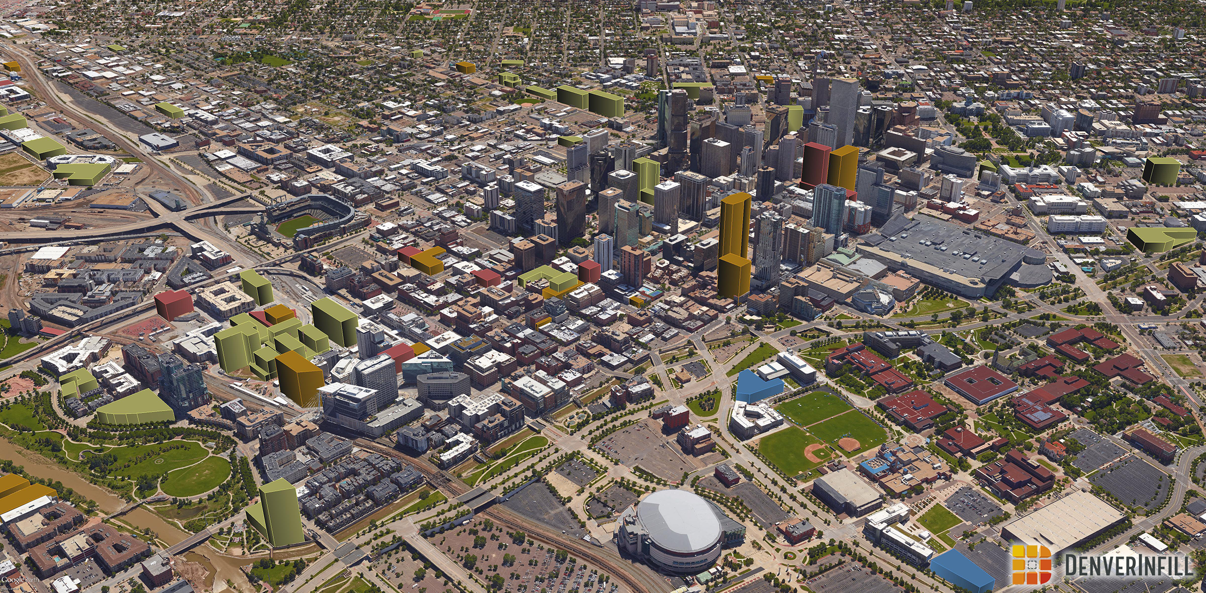
The buildings have been color coded to match our DenverInfill Project Map, where yellow is residential, orange is office, red is hotel, and blue is civic/other. We will add a new “3D Future Skyline” link on the right sidebar below the Project Map box so that you’ll be able to quickly access the current and previous versions of our 3D Future Skyline images. We plan to issue a new collection of 3D Future Skyline images on a quarterly basis or perhaps more frequently, as needed.
A few important caveats to note about the buildings modeled in 3D in these images:
- Each 3D object represents a simple massing of the building that has been extruded to the planned height of the structure. In most cases, buildings have step-backs and other architectural treatments that reduce the mass and scale of the building, particularly on the upper floors. Therefore, the three-dimensional space these buildings occupy in model form is going to be greater than they will in reality—an “objects will appear larger than they really are” situation.
- Similarly, building footprints typically have small setbacks here and there from the property line, as opposed to the simple rectangular footprint used in most of our models.
- The 3D model-making tools in Google Earth are fairly crude, so the purpose of our new 3D Future Skyline images is to convey a general sense of how Denver’s urban core is growing and densifying, not necessarily to show a specific building in three-dimensions. If you want to see what a particular building will look like, read the blog posts for that project.
- Uses within a mixed-use building are colored with a very “broad brush” you might say, with ground floors and other parts of buildings that are planned to have other uses, like retail or parking, colored as one of the primary uses found in the building.
- Google updates their imagery on a fairly regular basis (annually, it seems of late), so at some point in the future, when Google next updates their 3D imagery and a project has been completed, we will remove the 3D model of the building from our database because its physical representation will appear within the Google aerial background.
- Buildings shown in 3D are only those planned or under construction for which we have published a DenverInfill blog post. There are many projects “in the pipeline” or recently announced that we haven’t yet profiled on DenverInfill, so those project aren’t in our 3D model yet.
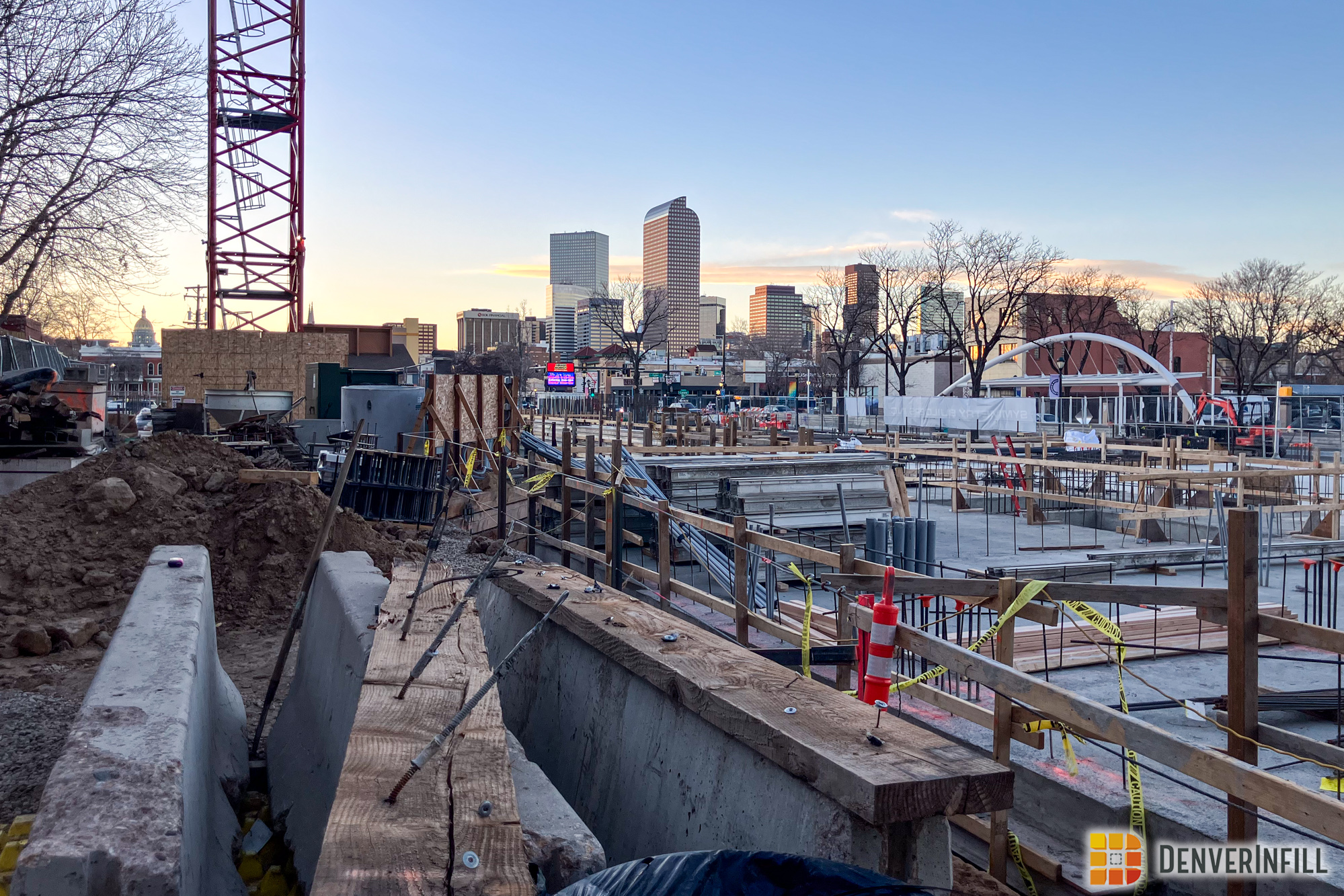
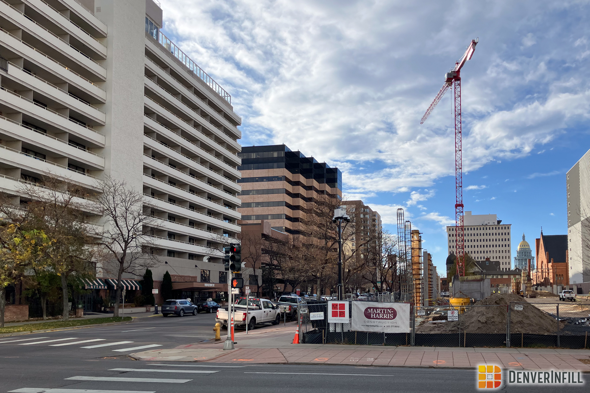
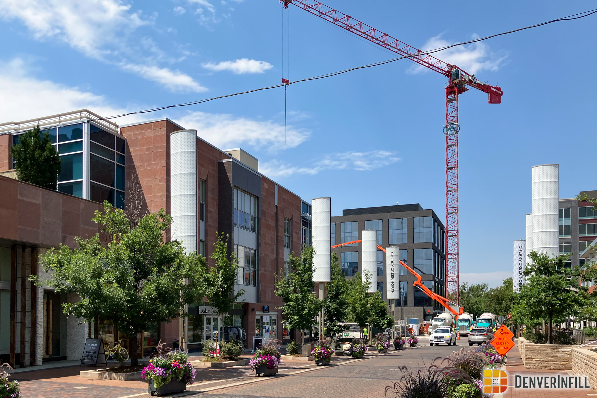
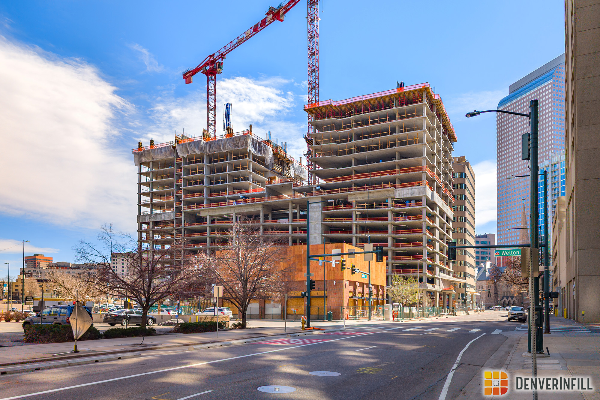
OK, let’s get to the images! Each is presented in 2400-pixel HD glory, so click, zoom, and enjoy!
Downtown Denver looking north:

Downtown Denver looking south:

Downtown Denver looking east:
Downtown Denver looking west:

LoDo and Union Station districts up close:

Central Business District up close:

Downtown Denver high-level overview:

Cherry Creek district looking northeast:

Cherry Creek district looking southeast:

That’s a lot of urban fabric-repairing going on!
As I mentioned, the credit for our 3D models goes to our new DenverInfill team member, Ryan Keeney. Ryan is a masters student at the University of Denver studying Geographic Information Science, urban form, and multi-modal transportation. When Ryan moved here from Indianapolis in 2015, he was amazed by the magnitude of infill occurring in Downtown Denver and was excited to witness its impact on the vibrancy of the city, so modeling urban development for DenverInfill allows Ryan to engage his technical skills while also contributing to the energy of Denver’s growth and revitalization. In addition to keeping our 3D Future Skyline files up-to-date, Ryan may also start reporting on new infill projects in the DU/South Denver areas on the blog. After graduation, Ryan’s goal is to start a GIS career in urban or transit planning. Thank you, Ryan Keeney, for your excellent contribution to DenverInfill!
I hope you enjoy DenverInfill’s 3D Future Skyline images as yet another way of experiencing the profound way in which the Mile High City is urbanizing and creating a more walkable, compact, and thriving urban core.


This is F*^&&%$#% AWESOME!!!!!!!
Love you guys!!!!
This is great!! Great work Ryan!!
I hope you have time to show the National Western Complex build out and the Denver Center Performing Arts build out, as proposed. Great work!!
Looking at these models, I still cant believe how many surface parking lots are left…
I was thinking the same thing especially on the northeast side. I had no idea the giant gaping dead spots the area has there.
It would be great to see Cherry Creek and or downtown from a perspective that includes the Country Club Towers.
This is awesome!! Great Job! Don’t forget about all the building going up in the Denver Tech Center.
How do you create the 3D blocks? Are you using something within Google Earth or a third party such as SketchUp?
As someone who does GIS for a living. THIS IS AWESOME! *drooling*
Really cool!! Amazing to see how much is changing and yet still so far to go. Arapahoe Square and Golden Triangle have so much potential. Great work.
Ken,
Interesting new perspectives. I’ve been thinking it would be nice if you guys would also create a ‘score card’ that measures parking lots consumed by new development inside your urban area of focus. You could also include another class of property of buildings that are candidates for replacement. If presented in comparison to both the total urban study area and to the available area for development, and presented say annually, it would fit nicely with other metrics you offer as well as give a great sense of the pace of infill and what is left to do.
These are brilliant! Thanks.
Very cool. Looking at these massings, it makes me think how perfectly the county club towers would fit on those two lots behind the Pavilions. I’ve always pictured some kind of twin tower thing there. Anyway, great addition to your web site!!!
Excellent work Ryan! So cool to visualize the future skyline of Denver.
I don’t see anything about what will be done with the old temporary Amtrak station building. Shouldn’t that be replaced by a restaurant or store?
Beautiful new feature, Ken and Ryan! This is the best way yet to show the sheer scope of Denver’s infill development.
Great work. So exciting to see this, Ryan. Congratulations.
It always makes me sad to see how awful the Convention Center roof looks from above. Why doesn’t the proposed expansion tackle a green roof and/or adding a hotel (since they want a ton more within walking distance. Public/private partnership anyone?) and amenities like a swimming pool or public park to the roof that looks like a giant blob swallowing half of downtown?
I really needs more to it. A green roof would be great and expand the solar panels once we have a clear idea of other buildings surrounding this parcel. That way we don’t add any that won’t gain the energy payback that is needed. But a green roof or the idea of a public park on top sounds really awesome.
My opinion is it’s always a good time for more density, with that four letter word – height. Wonderful infill over the last five years and now it’s time for a new Denver tallest. Yet maybe it is a select consensus as how to redefine skylines as ‘friendlier’ and stay in the medium city category? Sorry seldom been a nod along person. Thanks
My reason for my opinion is basically thinking Denver is within the top 10 best cities in the U.S. and would suit itself to act more like that than letting Boulder be the pivotal ideal of psycho-geographics of the entire state.
Yes, James, many in Denver still have a small-town mentality. Some people I’ve grown up with bemoan the growth, which is paying for tremendous improvements, like reclaiming the entire Platte Valley, turning brownfields into parkland.
No one moving here is complaining about the reactionary zoning and height “lid” over the whole city. Millennials like Denver big, bustling and urban. For a reasonable comparison, the oldies should try living in a megalopolis like LA, where the car is king, and out-of control growth is a real problem,a perpetual traffic jam.
Then look at the Mile High City, so rich in parkland, with rail planning miles ahead — as a real, viable alternative to driving — and Denver looks great. But the fear of building UP is still deeply embedded in the anti-urban psyche of so many here.
Thanks for the reply Nash. Pheew! Someone relates. I presume that there are many more but they don’t involve themselves that much with blogs. Case in point with my whining about fear of height is the Block 162 was originally planning on being Denver’s next tallest building inside of 10 years now but I find it interesting that the developer broke the structure into two buildings down from one massive one. And my former inquiry the message was that that was for insurance reasons? So can someone explain how the Republic Plaza got built then? Just seems a bit odd to me. And as cities (in general) go, they compete for attracting companies and that’s just basic. So at some point when the downtown acreage gets filled up with mid rises in the next 20 years what? Will business expansion go to Aurora or Colo. Sprgs.? Maybe the planning department knows something the general intell doesn’t? Maybe Denver is invariably close to being done finished. Now there’s a concept.
I noticed on the 3d map that the development planned next to the Rossonian Club renovation on Welton. The renovation and its associated 8 story hotel/office is shown but not the other project which was planned next to it. Did that fall through? It was adjacent to that project.
Having grown up and lived in Denver on and off for the last 40 years and unfortunately now absent, I must confess this web site / blog helps with my staying connected to the urban vibe of the area. In addition working in the related field of architecture I am very impressed with what you and your colleagues have done to communicate the energy inherent with all the change happening.
Thanks so much for all your effort in putting this site out there!
Thanks Mike!
Awesome work!!