

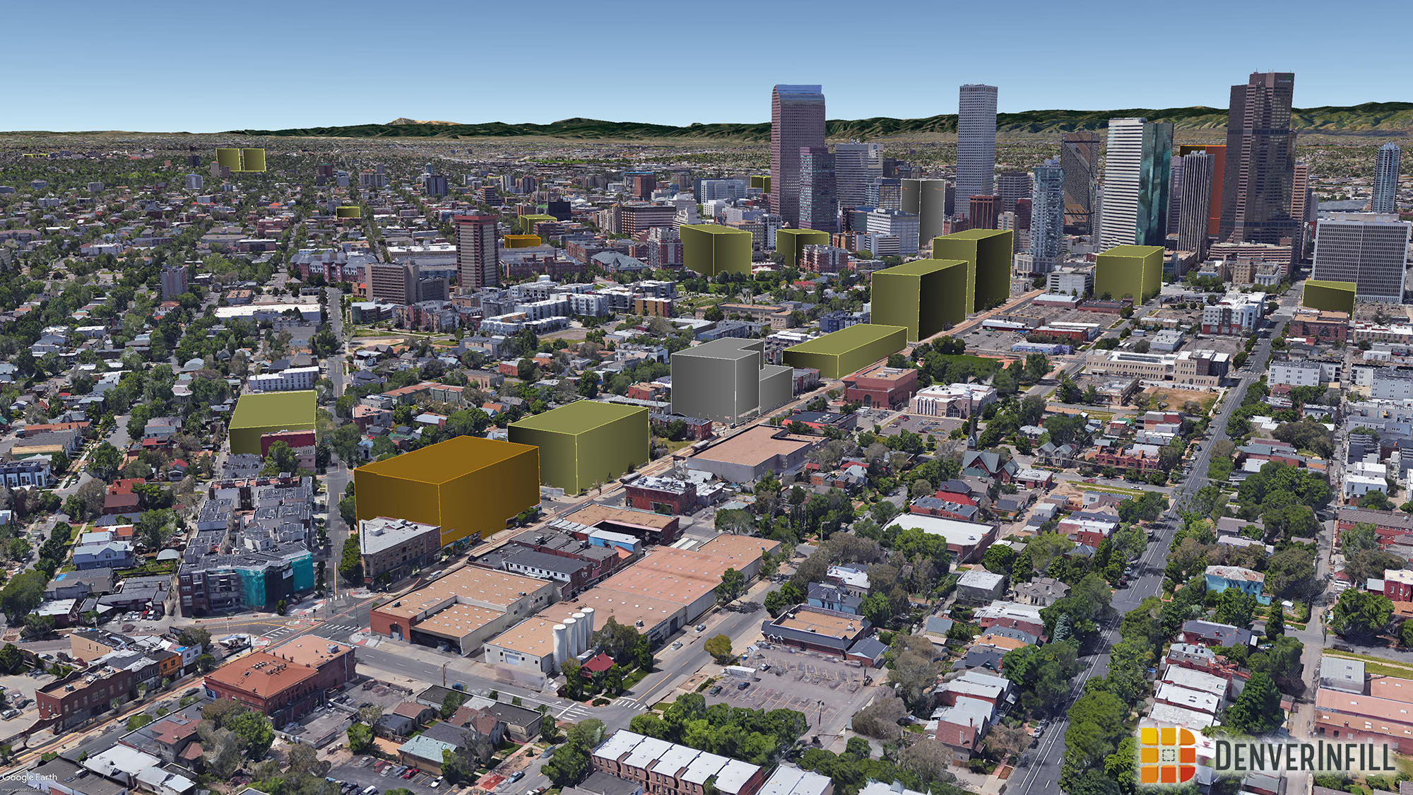
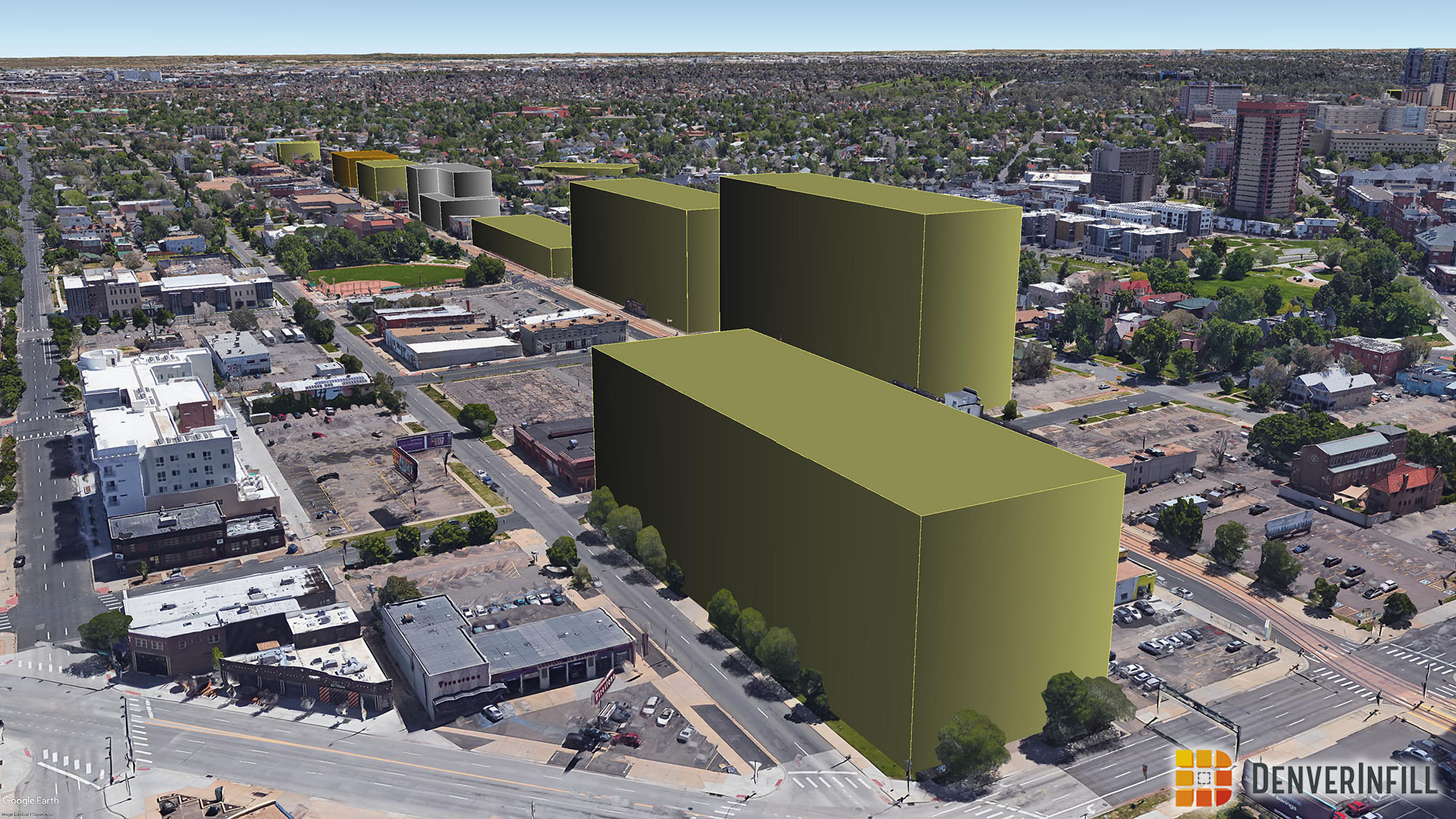
Following the Downtown Residential and Non-Residential updates, it is now time to revisit the 3D Future Skyline. We have had numerous proposals since our last update notably in The Welton Corridor and River North neighborhood. These two areas will show the most drastic change since our July update. For more details about the 3D Future Skyline, head on over to our announcement post.
Ryan Keeney has been doing such a wonderful job keeps this feature updated. This wouldn’t be possible without him. Thank you Ryan!
The buildings have been color coded to match our DenverInfill Project Map, where yellow is residential, orange is office, red is hotel, and blue is civic/other. Also, some of the completed buildings are grey because Google has not yet created their own models for them.
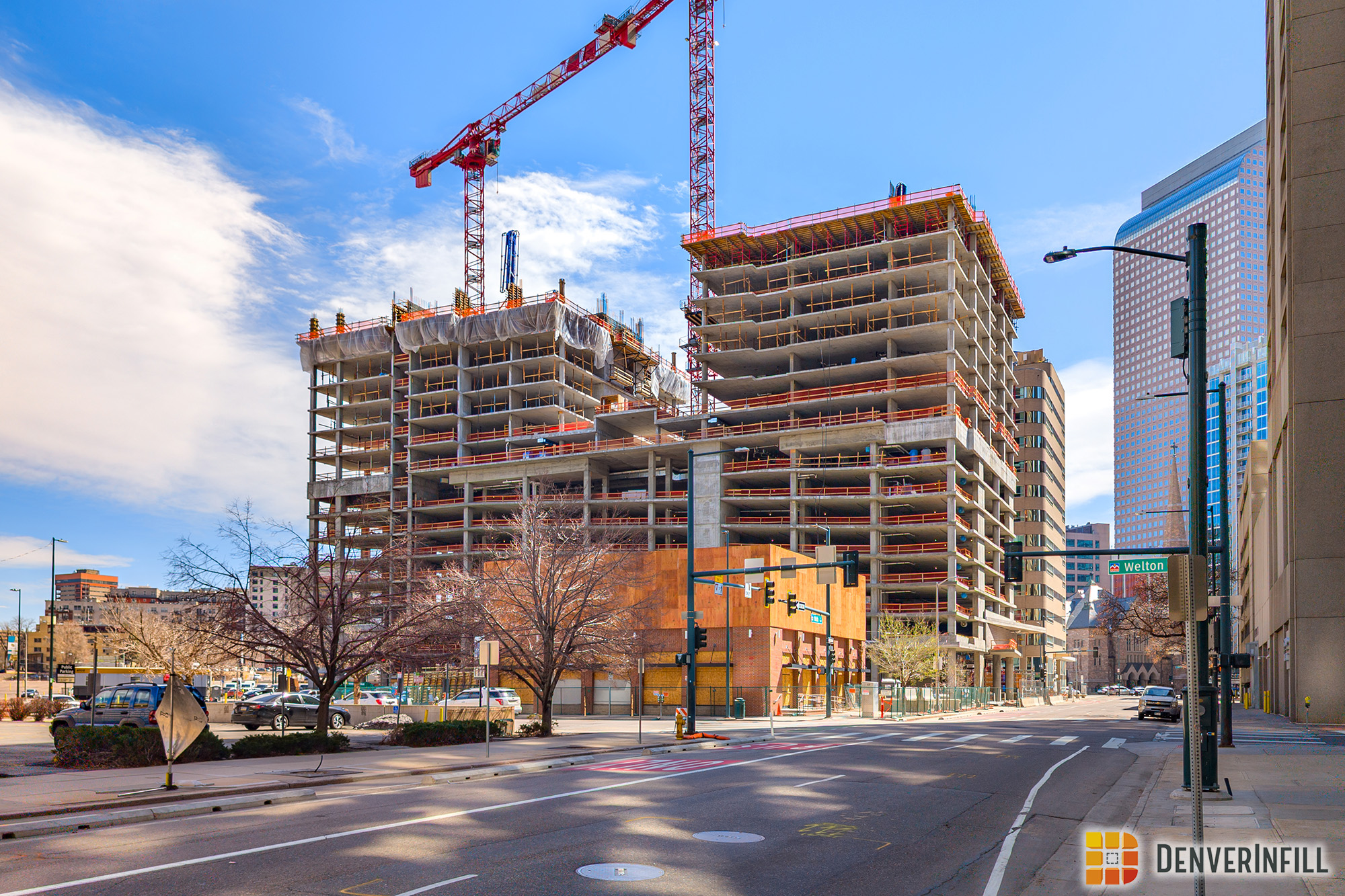
Let’s start with the Welton Corridor. Here we can see that almost every single block has new development that is either proposed or under construction. With this update, we will be featuring more of the street level to show how these developments contribute to the human scale versus just the skyline.

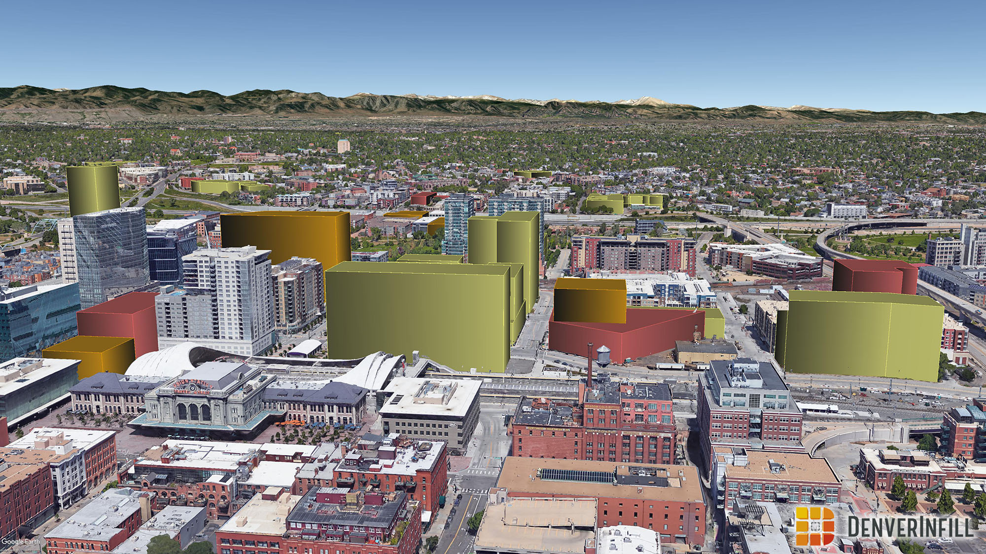
Next up, let’s head over to Denver Union Station and the Central Platte Valley. We can see that most of the Denver Union Station neighborhood is built out. The Central Platte Valley, and the edge of Lower Highland, along Platte Street, also have an ample amount of projects taking place.


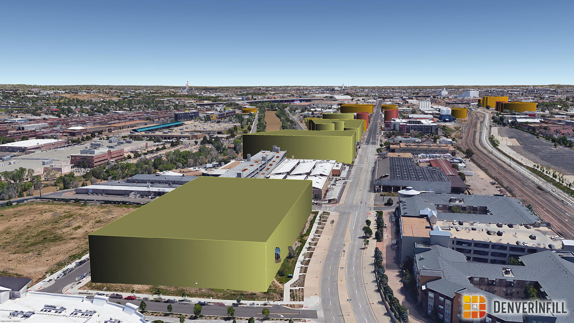
River North is going through a fairly large boom. The 38th and Blake Station and Brighton Boulevard are seeing significant urban development.


Let’s conclude with the Golden Triangle and Cherry Creek. We can clearly see that urban development is happening all over Central Denver.


We hope everybody has a safe and Happy New Year! 2017 is going to be a great year for infill as Denver keeps on booming!
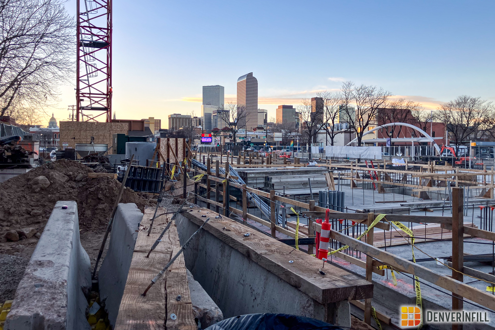
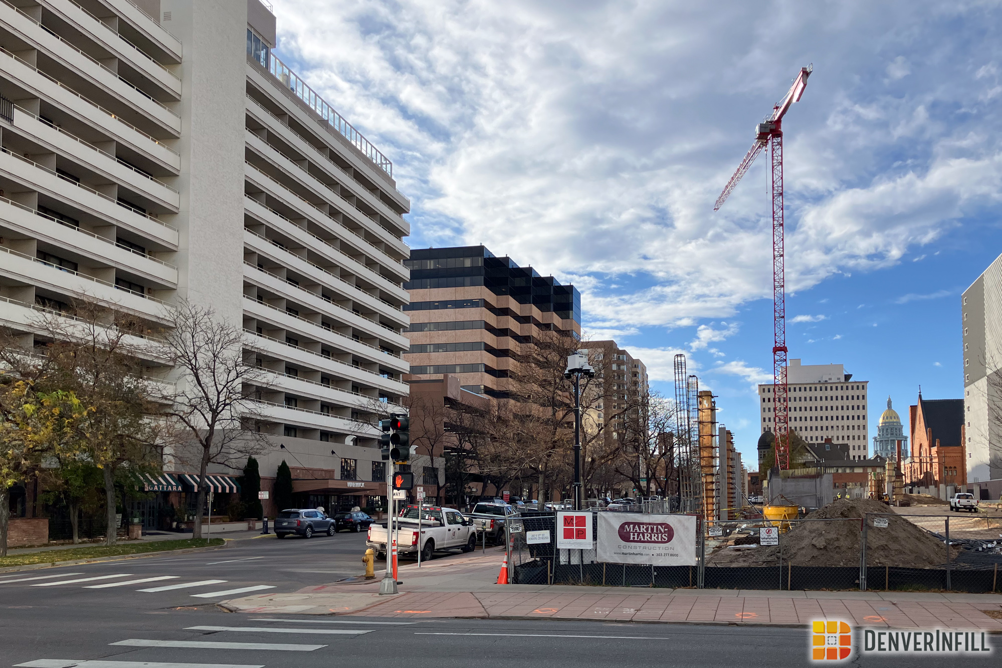


Without a doubt; that sea of parking surrounding the Pepsi Center will be ripe for development hopefully sooner than later.
I think that all the time. I think how all that parking is so wasteful. We could have parking garages (maybe not as many parkings spots as before). It could be a great place to live, work, and play in its own micro neighborhood.
I really like this special feature, but I do have one quibble. The grey blocks that represent The Wheatley development in Five Points is incorrectly scaled. It is a fiver story apartment with 3 story row homes attached and so it should be shorter than 2560 Welton and Rossonian developments. Those are both 8 stories. Also, what was suppose to be an image showing the Golden Triangle is actually just the same River North image from immediately above.
JerryG, I fixed the image of the Golden Triangle, sorry about that. We will also fix The Wheatley.
Nice work. Parking lots gone…very inspiring. But gone are the days when future meant skyline transforming. Height must be considered ‘oldschool’ for the nuveaux or anti-big ideals of local planning. Pretty much the last parcel of land block 162, height was chopped in half for what is considered an up close pedestrian experience? Or ‘insurance’ red tapes? I know the city will say it’s something else but waited long enough, I’m letting go of any fantasies I had for anything transforming the current boxtop look for Denver which for me makes it easier to choose to live outside of the city, outside of Denver’s now over-controlled urban environment. If this link is workable it’s a picture of New York supertall architecture ideals which could just as well be Seattle or Salt Lake City when it comes to urban competitors. Not to be negative, just my honest opine. Thanks
http://newyorkyimby.com/wp-content/uploads/2016/06/cpt_40_1-1.jpg
Why is the la Loma development not included in Highlands? Also, what do the colors mean?
Although it shows up more green than yellow for me for resi, the article states:
yellow is residential, orange is office, red is hotel, and blue is civic/other. Also, some of the completed buildings are grey because Google has not yet created their own models for them.
Is it likely that we will see the parking lots around Pepsi Center and Mile High developed? Are there major hurdles to overcome before we see something positive happen in these areas?
For the summer 2017 skyline, will the 9th and Colorado projects be on it?