

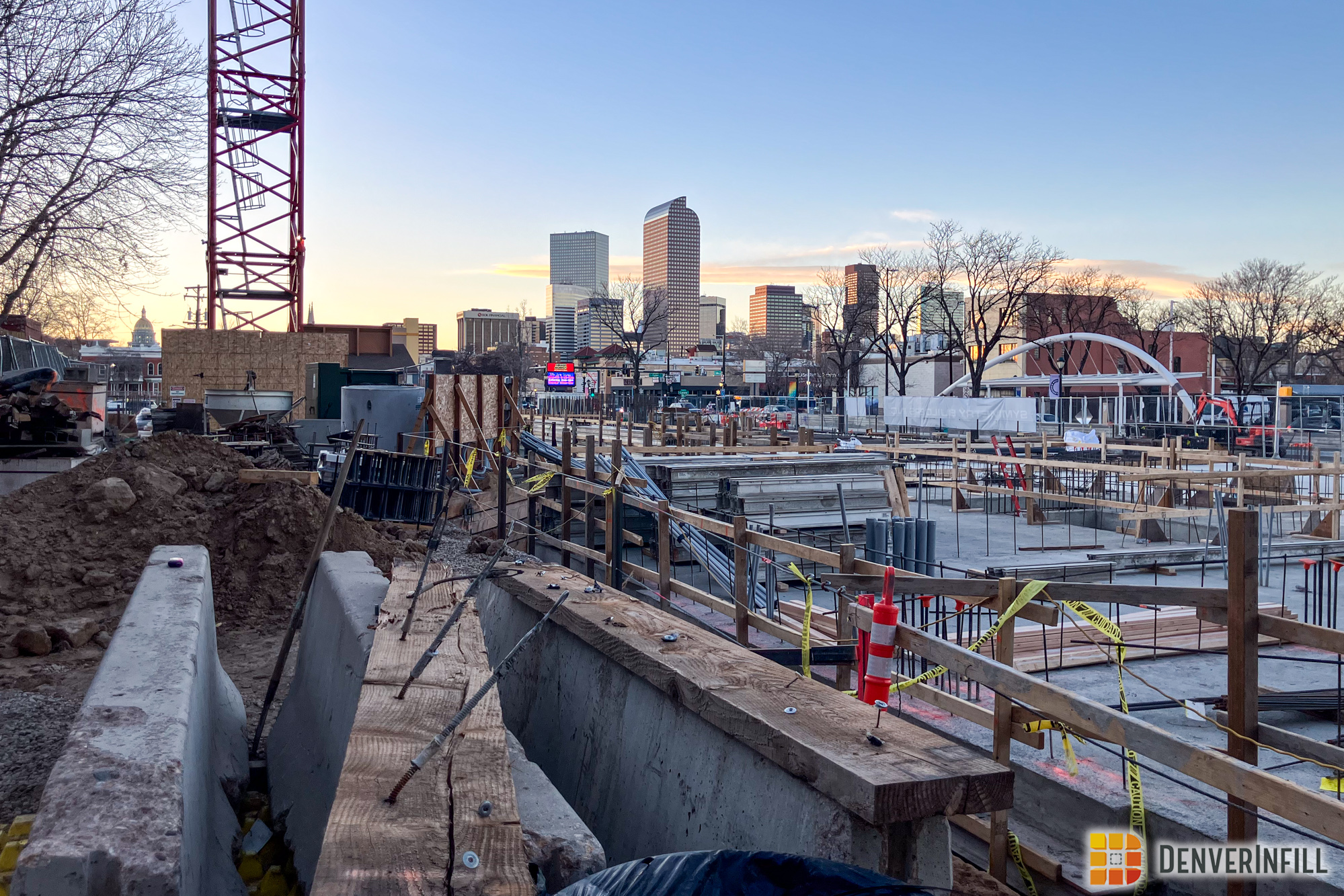
Since my post in March, this development has shot up and most of the framing along with the new streets are almost complete. The facade of the building is still a mystery but not for much longer.
Notice in the pictures there is the newly paved Denargo Market Street. Talk about making a community from scratch. This is a great start and I’m very excited to see what is going to come in the future.


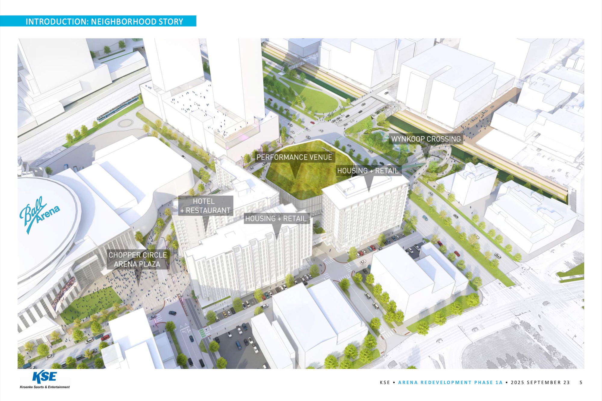
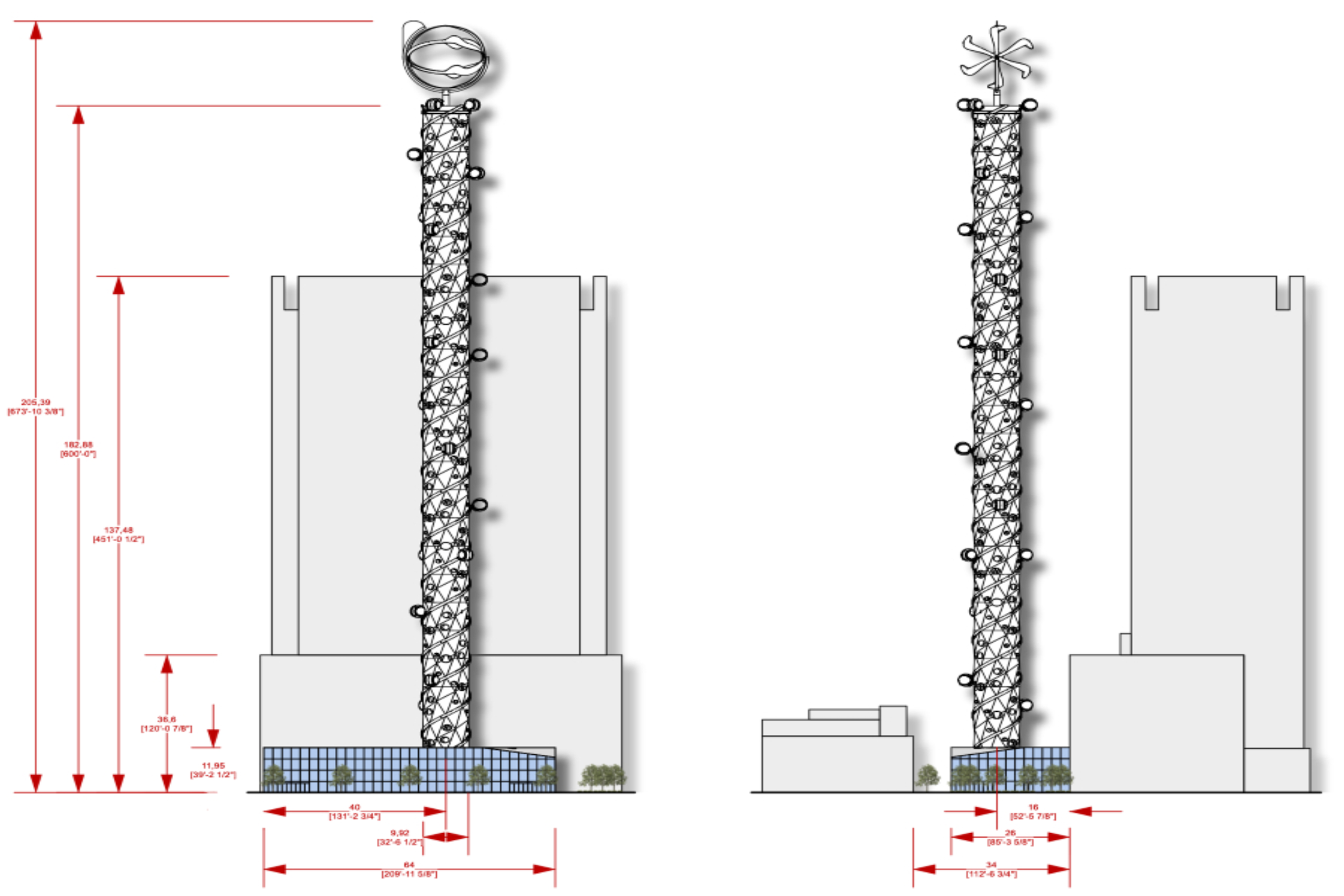
As you can see there are two buildings that wrap around a parking garage with two courtyards between them as well. From the side facing Brighton Boulevard (right picture), the garage is not visible.


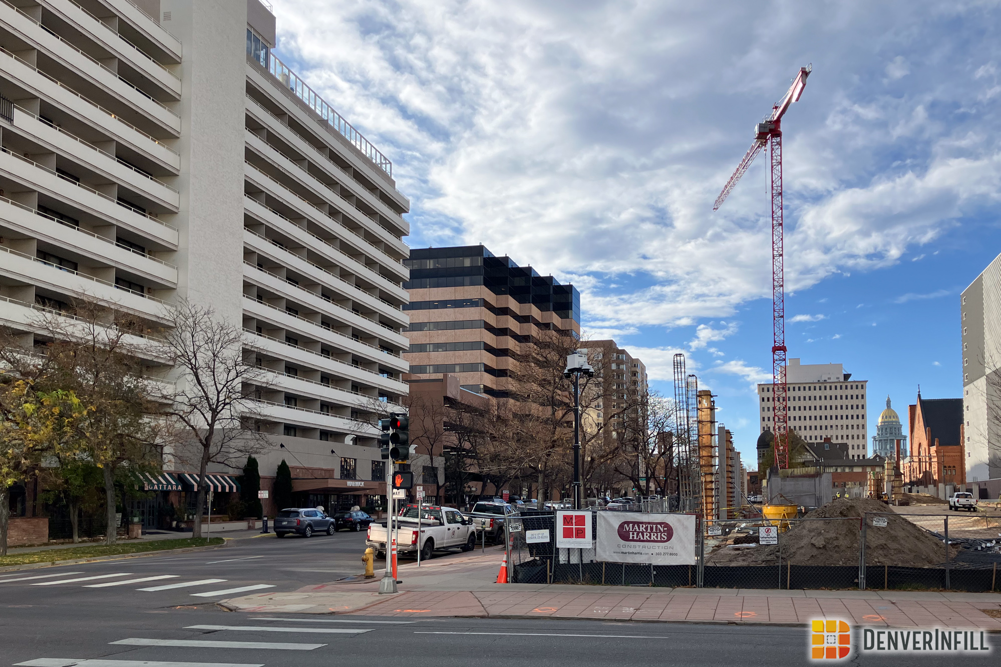
As a bonus I’m happy to share with you some awesome aerial photos from Todd Wenskoski who is in the Community Planning and Development Department with the City and County of Denver.


RiNo is a very up and coming neighborhood just outside Downtown Denver and developments like these immensely help what used to be barren wastelands just outside our city.


Brilliant update. Thanks for doing the work.
Seeing all of these larger buildings going up using wood frame construction makes me very suspicsious of the state of all of this wonderful urban infill in 50 years. It’s an awful lot of wood for such a large building. Just doesn’t look like the stuff going up these days is built to last.
If we had MINIMUM height restrictions we could force development to be built in concrete and steel.
In those aerials, I noticed a massive grey ribbon flowing through the city like the Mississippi river. It was hard to tell what it was at first, but if I’m not mistaken, it’s a huge parking lot that’s at least a mile long and a block wide. Really??? Why???
I just looked at it on google’s satellite view. That thing’s huge! Who owns it? When did it get there? What did it replace? What on earth is it for? I can see the south end of it being used for the ballpark obviously, but what’s the rest of it for? Who’s gonna park at 33rd Street then walk 12 blocks to the ballpark?
Sorry guys. I’m kinda freaked out I guess. Somehow, I just never noticed that thing before. Why isn’t it talked about more? That thing’s gotta go!
You know, I lived in Denver for over 20 years, and for 4 of those years, I lived downtown and worked in Montbello (late 90’s / early 2000’s). I would take broadway to brighton blvd to I-70. I’m trying to picture my old commute and trying to remember crossing that sea of parking but I just don’t remember anything like that. I guess I just wasn’t infill-minded in those days. Anyway, sorry. I’m done freaking out now, lol.
Freddie, that parking lot is for Coors Field and has been there as long as the stadium has. From ground level it’s not very noticeable as it’s tucked between the back of exsisting buildings and rail tracks. I agree it is space that should be developed in the future, but I think it’s gonna stick around for quite a while.
I believe that that parking IS for Coors Field. I think they must have a shuttle or something. Either that or people have to walk. But I agree, they really need to do something about filling that in and adding a parking structure somewhere closer to the stadium.
On a separate Denargo note: Am I the only one who thinks that Brighton Blvd, should have just been straightened out and become Wewatta rather than Broadway? Then if Denver decides to eliminate the part of Broadway north of 20th (as is one of the options they are currently reviewing), it will make more sense. Oh well, too late anyway since Denargo is already going in.
Never thought about that before, but that would be interesting (though I don’t think Broadway is going anywhere at this point).
Alternate city layout stuff is always fun to think about though. I once noticed that if Park Ave had used a 27th st alignment rather than its existing 23rd st alignment, it could A) terminate Broadway right at Brighton blvd. creating a perfect “downtown triangle” along with Colfax and Wewatta(ish) B) place 20th street directly in the center of downtown and make Arapahoe Square equally wide as the CBD south of 20th C) cross Welton st. at the namesake 5-points intersection and D) deliver people directly at the southeast corner of City Park (giving more meaning to the name “Park Ave”) at 17th ave before meeting up with Colfax.
Alas, I’m afraid that street layout is, for better or worse, set in stone in a society that values property rights. Unless we want to go about doing 60s style “Urban Renewal” again, I think we need to accept the flaws in our streets’ geometry as the relics and fingerprints of our own history and instead find other ways to make the city more coherent.
What we eventually need to do when the emty lots are develop is shutdown Broadway downtown and develop that space.
It IS all for Coors Field. There are shuttle buses that can be used from the stadium itself to the far end of the parking, I believe. But yes, I think it’s pretty much ridiculous.
Just a guess…. but I see they do Limited Partnership Investments. By building this first complex they can likely recoup their investment to date. They claimed to have bought the 20 different parcels at a “significant discount to recent parcels” at the time. Assuming they have success with this project, they should then be better positioned to move forward.